Home > Blog > Weather Today
Weather Today – August 31, 2015 | LPA, ITCZ to bring rains
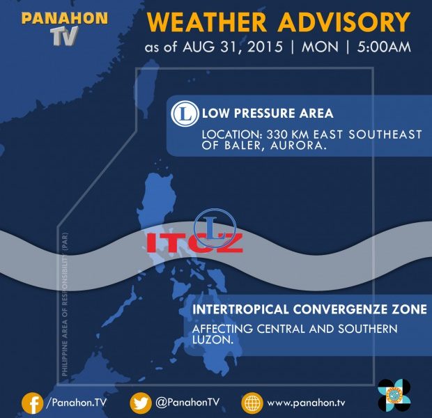

As we bid goodbye to the 8th month of the year, rains prevail in some parts of Luzon. At 4:00 ,AM today based on the latest PAGASA data, the low pressure area was spotted at approximately 330 kilometers east southeast of Baler, Aurora. The said weather disturbance is embedded along the Intertropical Convergence Zone (ITCZ) affecting Central and Southern Luzon.
ITCZ is an area where winds from the Northern and Southern Hemispheres meet. When winds converge, clouds are formed, bringing rains and thunderstorms in the affected areas. It is also dubbed as the breeding ground of low pressure areas, which could develop into tropical cyclones or “bagyo.”
Today, cloudy skies with light to moderate rains and isolated thunderstorms are expected in Central Luzon, and the provinces of Quezon, Quirino and Isabela. Metro Manila and the rest of the country will have partly cloudy to cloudy skies with chances of isolated thunderstorms.
No gale warning is issued, thus, sea conditions will be slight to moderate. Fishing boats could sail but all are still advised to be cautious in venturing out into the seas.
PAGASA Weather Forecaster Jun Galang says the LPA has a slim chance of developing into a cyclone. However, the public should keep monitoring updates and further development.
Galang also mentions that “habagat” could still prevail in the coming days as we go through the month of September. Though “ber” months are just a few hours away, the cold breeze of “amihan” will not be felt right away.
September is usually the transition period for wind systems. We may experience monsoon breaks but “habagat” could still affect the country in the coming days or weeks mostly if a cyclone is present within the Philippine Area of Responsibility (PAR).
Latest Advisories
