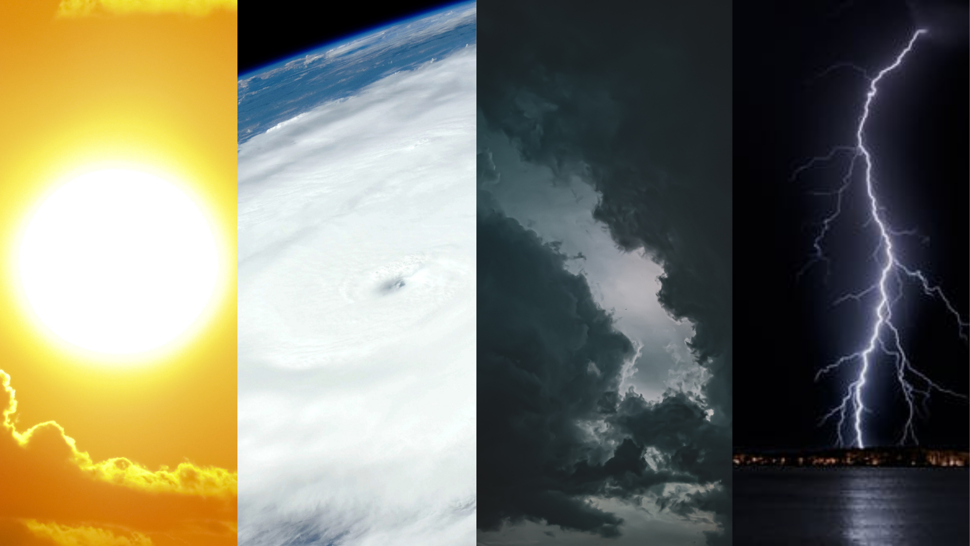
Weather forecasts are essential today as they were centuries ago. Our ancestors used observation methods to predict the weather, such as the loud croaking of frogs and the animals’ frantic scramble for shelter, believed to indicate imminent rain or stormy weather. Rain may also be preceded by a red sunrise, cloud towers on mountains, and a starless sky. The sound and sight of giant waves rolling are signs of a looming storm.
Meanwhile, the change of seasons is seen through the ripening of certain fruits. The proliferation of duhat, kaimito, langka and melon happens during the dry season, while the abundance of durian, guyabano, santol and siniguelas signifies the wet season. These observations are especially useful to farmers, sailors, and fishermen whose livelihoods are weather-based.
Fast forward to modern times, and weather forecasts are now available across all media platforms. Despite their accessibility, many are not aware of how much work is involved in coming up with reliable forecasts. According to PAGASA Weather Forecaster Aldczar Aurelio, the process requires several steps and the use of weather instruments. “We analyze weather maps (current and previous data), interpret the weather data coming from synoptic stations, monitor the images from weather satellites, analyze the outputs of numerical meteorological weather prediction, and discuss with fellow weather forecasters. It’s also important to know weather patterns or the behavior of weather systems for particular months or seasons.”
The Importance of Weather Forecasts
Because of our country’s geographical location, the Philippines is prone to natural disasters including tropical cyclones. According to PAGASA, about 20 tropical cyclones enter the Philippine Area of Responsibility, bringing with them hazards such as floods and destruction.
In October last year, Typhoon Ulysses entered the country during the pandemic, causing 67 deaths and more than P16 billion damage in agriculture and infrastructure. Though typhoons cannot be prevented, impacts can be mitigated through preparedness. According to Aurelio, weather forecasts can help in the following:
- Protecting life and property
- Helping people to dress accordingly and prepare weather essentials such as raincoats, umbrellas and sunscreen
- Serving as guides in power production and consumption. Energy production relies on weather elements such as wind speed, air pressure and air temperature.
- Helping people plan their activities
- Aiding businesses plan for transportation hazards such as thunderstorms, rains, and strong winds
- Helping people prepare for weather-related health issues such as allergies, asthma, and heat stress
- Helping communities plan for severe weather and weather hazards such as lightning, hail, flooding, and landslides
- Guiding the agricultural sector in planning for crop irrigation and protection
- Providing weather information for the tourism industry
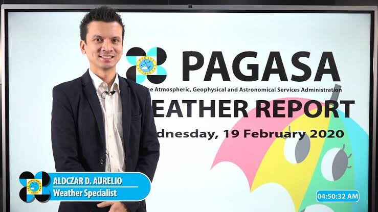 PAGASA Weather Specialist Aldczar Aurelio
Observing Weather on Your Own
Should you find yourself in a situation that hinders you from receiving weather forecasts, Aurelio suggests that observing your surroundings like what our ancestors did.

Cloud formations
Aurelio states that cloud observation is a basic foundation of meteorology. “There are three types of cloud formations. High clouds, middle clouds and low clouds,” he shares. “High clouds are associated with good weather— sunny, clear and fair. It’s ideal for outdoor activities. Middle clouds are associated with fair weather, but also with the brewing of bad weather. Low clouds are associated with bad weather—storms and rain. Cumulonimbus known as thunderstorm clouds are examples of low clouds. These low clouds are common during the rainy season.”
He also added some folk knowledge in predicting the weather, “When you see tower-like clouds, expect rain because those will bring thunderstorms. If you see a field [of clouds] on the base of clouds, it’s possible to experience a tornado.”

Stars
As to the popular belief that starless skies predict rain, Aurelio says that “Clouds that can cause severe thunderstorms cover the whole sky dome. “ But if a few stars are visible, then rain is still possible.
Given the ever-changing weather systems, forecasts are never 100% accurate. But the constant monitoring of weather forecasts and a keen awareness of our surroundings may boost our safety and preparedness. After all, we cannot escape the seasonal changes of our country’s weather even during a pandemic.

Heads Up! Be fascinated with these awesome and amazing Weather Phenomenon you might see one of these days here in the Philippines.
Weather is one of the most fundamental aspect of our daily lives. Changing over short period of time, weather still has a lot to offer for us to see. On this blog we gather some facts about rare yet awe-mazing weather phenomenon you must dream to see. Let’s Start!
Moon and Sun Halo
This phenomenon is a large optical ring forming around the the sun or moon. The ring is called halo. Halo are caused by ice crystals present in the atmosphere, wherein light coming from the sun or the moon reflect and refract on the tiny ice crystals creating a halo effect around it, it usually occurs when a high, thin cirrus clouds are present. This phenomenon is usually a signal that storms are nearby, because high and thin cirrus clouds are often indicators of rain.


Mammatus Cloud
Pouch-like in shape, usually develops underside of cumulonimbus cloud, mammatus is a rare type of clouds which forms when the sinking air is cooler than air around and having a high liquid water or ice content. Though this cloud is associated with thunder storm and its appearance may seems cause an extreme weather it is not necessarily an indicator of an upcoming severe weather
Though this cloud is associated with thunderstorm and looks like it will cause extreme weather condition it is not necessarily an indicator of an upcoming severe weather.

Raining of Fish
Fish falling out of the sky?
Yes, It’s possible, Fish Rain or Raining Animals is a rare meteorological phenomenon in which flightless animals fall from the sky. Scientist explains that this bizarre event usually occurs when a waterspout or tornado formed over surface of water occurs sucks almost anything in the water including fish, eels, frogs and other marine organism. Those animals can be carried by buffeting cloud even when the waterspout stops spinning.

Fire Rainbow (Iridescence Cloud)
Iridescence Cloud or now known to millennials as unicorn cloud it is a rare weather phenomenon appears like a distorted rainbow embedded in clouds. It occurs when there is a tiny water droplets or small ice crystals present in the atmosphere which diffracts and scattered light from the sun, creating a colorful rainbow-like effect on the cloud. This phenomenon is called cloud iridescence or irisation. The term comes from Iris, the Greek personification of the rainbow.
Lenticular Cloud

Also known as flying saucer cloud and sometimes mistaken for a UFO. Lenticular clouds are a stationary cloud forms at high altitudes in the sky. Usually appears in Mountainous areas, this type of cloud forms aligned or perpendicular to the direction of winds.
Those are some of the awe-mazing weather phenomena that one might dream to see someday. Most of these are rare and will only happen within a certain period of time with right weather condition. But if you’re in luck to see one these amazing weather occurrence take a moment to realized how astounding our nature is, to offer such beautiful sights for us to enjoy.
By Panahon TV Intern – Ramon Santiago
What’s the weather today? To get the answer straight from forecasters, we simply go online, or get hold of other forms of media such as the television, radio, and newspaper.
But in remote areas where such ready information is unavailable, weather is predicted by cloud watching. This is true especially among farmers, whose cloud observation skills have helped them in managing their crops. As David Seidman, Professor of Materials Science and Engineering at the Northwestern University
wrote: Clouds are the harbingers of weather. Their shape, height, color, and sequence foretell coming events.
To get started on your weather forecasting journey, familiarize yourself with these clouds.
CIRRUS
These clouds are the most usual of the high clouds. Described as thin and often wispy, the higher these clouds are, the higher the chance of good weather.

CIRROSTRATUS
These clouds are so thin that through them, the sun and moon can be seen. When you see this type of clouds, expect weather changes within 12 to 24 hours. Just like cirrus and cirrocumulus clouds, cirrostratus clouds do not produce rain, but together with decreasing pressure, they signify worsening weather, particularly rain within the next 8 to 24 hours. This is especially true when there is an increase in thickness and amount of the lower clouds.

CIRROCUMULUS
These clouds appear in small and high patches. Composed of super-cool crystals, these typically bring fair but cold weather.

ALTO
Alto clouds, made of ice crystals and water droplets, frequently block sunlight. These clouds often form before the onslaught of storms with continuous rain.

ALTOSTRATUS
Altostratus clouds almost conceal the whole sky, and are usually gray and blue in color, signifying storms.

ALTOCUMULUS
Altocumulus clouds consist of super-cool water droplets. They don’t usually generate rain, but may indicate a weather change within a day or so. When you see these large fluffy sheets in the morning, blocking the sun, prepare for a thunderstorm sometime in the afternoon onwards.

STRATUS
Stratus clouds exist in the lower layer of the atmosphere. These clouds like to hang around just above tall buildings, blocking sunlight and bringing precipitation. Thick clouds mean heavy rain so if you see a huge gray blanket hanging low in the sky, it’s time to go inside.

STRATOCUMULUS
Stratocumulus clouds generally show up as a low, lumpy layer of clouds occasionally accompanied by a weak-intensity precipitation. To make the distinction between stratocumulus and altocumulus clouds, point your hand toward the cloud. If the cloud is about the size of your fist, then it is stratocumulus.

NIMBOSTRATUS
Thick, dark, shapeless and solid in appearance, these clouds indicate heavy rain lasting for several hours.

So the next time you’re outdoors, look up! There’s more to clouds than just being sky ornaments; they are powerful weather predictors that can help you plan your day and ensure your safety.
Sources:
http://www.instructables.com/id/Predicting-Weather-with-Clouds/
https://www.theweathernetwork.com/news/articles/how-to-use-the-clouds-to-predict-the-weather/54385
http://thehomeschoolscientist.com/using-clouds-to-predict-the-weat
written by Panahon TV interns, Elaine Gonzales and Raleth Enriquez