Home > Blog > Weather Today
Weather Today – March 28, 2015 | A possible “bagyo” over Holy Week 2015
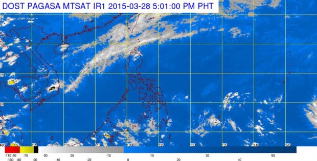
A tropical cyclone with international name “Maysak” is now being monitored by our state weather bureau, the Philippine Atmospheric Geophysical and Astronomical Services Administration (PAGASA) and other meteorological agencies like the Joint Typhoon Warning Coucil (JTWC) and Japan Meteorological Agency (JMA). Maysak is a cyclone name contributed by Cambodia, which is a kind of tree.
Maysak is still outside the Philippine Area of Responsibility (PAR) but as it moves, it continues to intensify due to some factors that are favourable for its development – ample amount of water vapour and warmth of the ocean. From a low pressure area, it developed into a tropical depression and was upgraded into a tropical storm.

PAGASA Weather Forecaster Jori Loiz said Maysak was spotted at approximately 3, 100 kilometers east of Mindanao as of 2:00 PM today. Packing winds of 85 kilometers per hour and gustiness of up to 100 kilometers per hour, it moves in a westward direction at 15 kilometers per hour. If it maintains velocity, it is expected to enter the PAR by Wednesday or Thursday. Once it enters the PAR, it will be given a local name “Chedeng.” Loiz added that there is a chance for Maysak to intensify further or might also weaken in the coming days as it moves closer to landmass.
Meanwhile, JMA regularly updates their website with the cyclone information and forecast. Based on the latest information, Maysak moves west southwest slowly. In the succeeding days, it is expected to continue moving westward and slightly accelerate to 25 kilometers per hour.

On the other hand, below is the update from the JTWC. The forecast track shows that there is a great possibility that Maysak will enter the PAR next week.

Loiz clarified that as of now, Maysak is still too far to determine the areas that will be directly affected but rest assured that PAGASA will keep observing and will provide latest information especially once it moves closer to our boundary.
Climatologically speaking, an average number of 0 to 1 tropical cyclone could enter the PAR during the month of April. Thus, the “tag-init” season does not always equate to a “bagyo-free” season. Preparedness is an integral part of our lives so as we enter the Holy Week, it is better to monitor weather updates to help us plan and adjust our activities.
Latest Advisories
