Home > Blog > Weather
Bye, Amihan! Brace yourself for Tag-init days
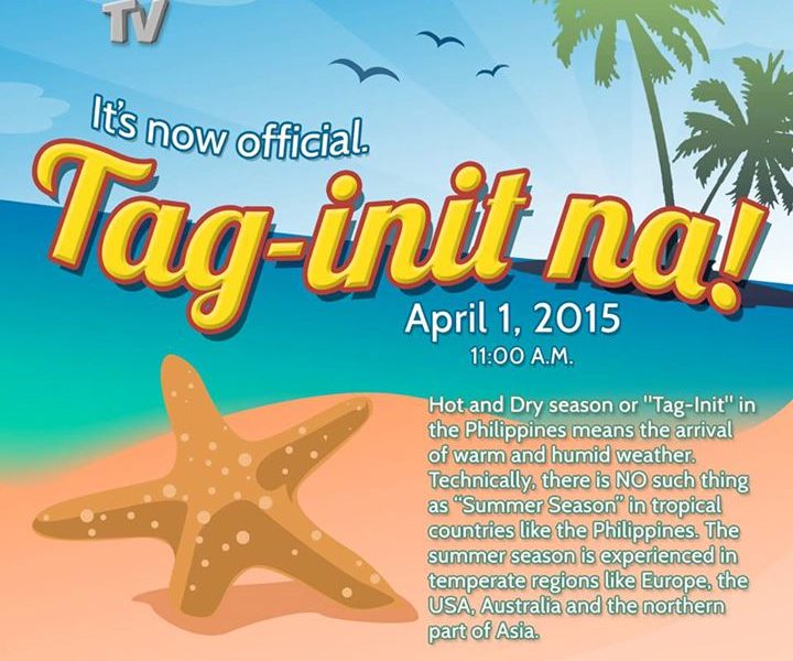

PAGASA declares the termination of the northeast monsoon season in the Philippines, marking the start of the hot and dry season in the country.
With this development, the ridge of high pressure area and the easterlies will be the dominant weather systems in the coming days.
These systems bring generally good weather and warm days in most areas of the Philippines. However, this does not mean we are free from possible wet days.
Isolated cases of rain showers and thunderstorms may also happen due to the following:
1. Urban Heat Island Effect – wherein the concrete structures and the ground are unable to absorb and trap heat from the sun. The warmer the air over the city,the higher its capacity to hold more moisture.
These factors combine to create convergence and lead to thunderstorm formation in a particular locale, especially over the cities as their surfaces are prone to release large quantities of heat.
2. Wind Convergence – wherein two different air masses meet–winds coming from the northeast and the easterlies.
The convergence of the cold and dry air of the northeast winds, and the warm and humid air of the easterlies generate cloudy skies with light to moderate rain showers or thunderstorms.
On the other hand, seafarers may enjoy calm coastal waters aside from at times moderate waves due to the possible prevalence of the easterlies, particularly over Eastern Luzon and Visayas.
Stay cool this hot season. Take precautionary measures to protect yourself from various heat-related illnesses. Read here: http://www.panahon.tv/blog/2015/03/staying-cool-this-hot-season/
Latest Advisories
